Very impressive!
"Sarasota stands out on Florida’s culture circuit, with the John and Mable Ringling Museum of Art, the contemporary Sarasota Art Museum, and the remarkable Marie Selby Botanical Gardens on Sarasota Bay.
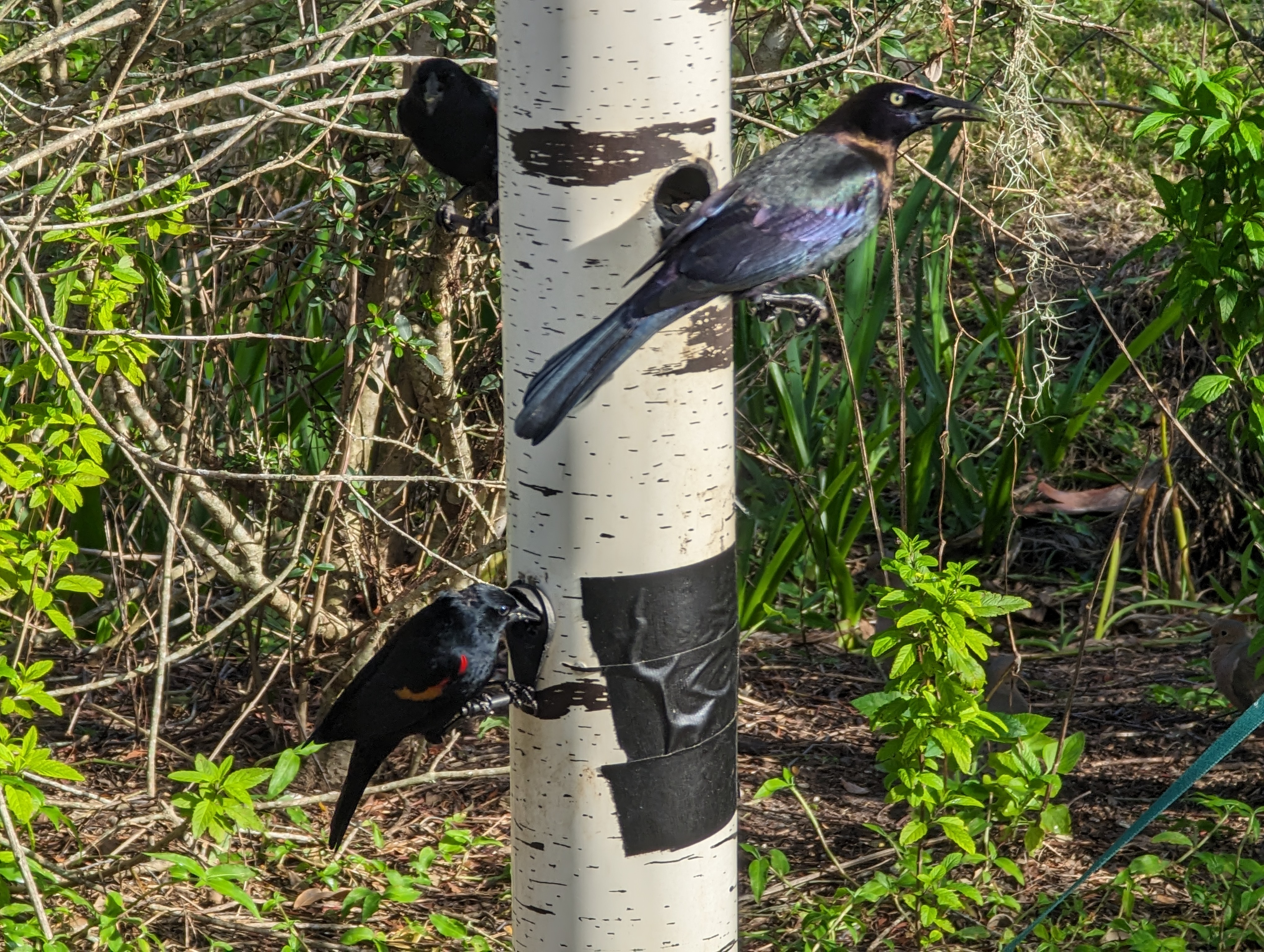
A recent expansion of the latter has all eyes on this thriving oasis of banyan trees and mangroves, now set to become the world’s first net-positive-energy botanical complex thanks to the installation of a 57,000-square-foot solar array. (It exceeds the facility’s energy demands by more than 10%). The visitor experience is equally impressive. A new welcome center beckons arrivals into an open-air structure draped with spectacular air plants that introduce the gardens’ many wonders, including a world-renowned collection of epiphytic orchids, bromeliads, gesneriads, and ferns.
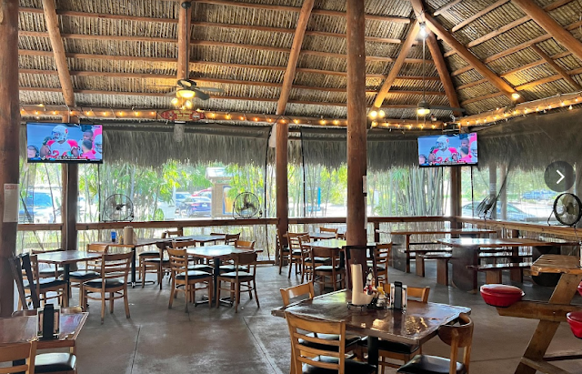
The expanded facilities include concept restaurant The Green Orchid, which uses no onsite combustion and sources produce from rooftop gardens cared for by a group of military veterans. The botanical gardens’ stormwater management system diverts and cleans millions of gallons of water each year before returning it to Sarasota Bay and future projects include a restoration of the landmark 1920s Payne Mansion, located onsite. For now, there’s more than enough to admire across this 45-acre green lung housing some of the world’s most noteworthy plantlife."
https://time.com/6992344/marie-selby-botanical-gardens/

The Plan
https://selby.org/about/selby-gardens-master-plan2/